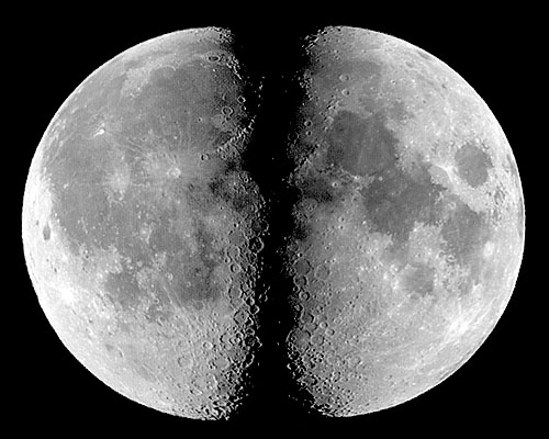
Welcome to MOON-"Light", an interactive Atlas of the Moon entirely produced from images grabbed with an inexpensive web-cam, the grayscale QuickCam (from Connectix/Logitech), using two Schmidt-Cassegrain telescopes (4" and 10"). It is still an on-going project, but already has more than 700 lunar formations mapped. For more details on how to modify and use this camera to obtain astronomical images see the "QuickCam Astrophotography" section of this web-page.
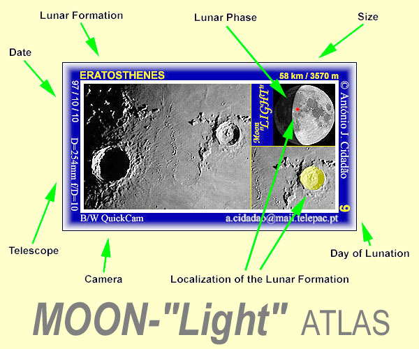
The basic units of this Atlas are stand-alone "card-files" like that shown at the top of this page. Each "card-file" refers to a specific lunar formation, and contains the most relevant information: name, size and localization of the formation (low-magnification and close-up views), date, day of lunation and lunar phase, as well as camera and telescope used.
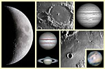
"Card-files" can be easily accessed by pushing any of the image buttons shown below. As the number of named craters on the visible surface of the Moon is very large, these formations were arranged both alphabetically and according to the 76 sections of the excellent "Atlas of the Moon" by Antonín Rükl. I strongly recommend all interested in lunar observation to acquire that Atlas. The quality of its drawings and images is remarkable, and it is full of relevant information.
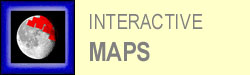
Besides the already mentioned "card-files", the MOON-"Light" Atlas also contains a number of interactive maps (more precisely, image mosaics of the Moon's surface). The area covered by each one of these maps is depicted, in red, over a small lunar disk that also shows the phase that occurred at the time the images were obtained. These maps will provide a wider view of the Moon's surface than that used for "card-files", with sufficient resolution to spot small craters, and will show similar areas under different angles of illumination. Another feature of these mosaics is its interactivity. If a given lunar formation is clicked with the mouse, the respective "card-file" will be accessed. As referred above, these stand-alone "card-files" contain the most relevant information. As you may imagine, building image maps takes time... Therefore, most maps are still non-responsive. Please return later on...
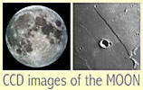
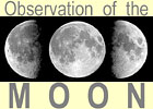
Although MOON-"Light" bears an extensive collection of identified lunar formations, the higher-resolution images of the Moon I have obtained so far are all grouped in the "CCD images of the MOON" section of this web-page. Please feel free to visit it. The same applies to the "Observation of the MOON" section.
Finally..., have you already guessed why this Atlas is called MOON-"Light"? First of all, its images do represent one of the many aspects of our satellite's moonlight. However, the main reason is to highlight the ease of obtaining fairly good astronomical images with an inexpensive camera and in sub-optimal seeing conditions. It is in fact a "lightweight" project, well representative of the moon's appearance when observed through a small telescope in average nights. It is also an indirect invitation to all visitors to endeavor in similar projects. It's fun, it may be useful, and it is simpler than you think...
All Images and Texts on these pages are Copyrighted.
It is strictly forbidden to use them (namely for inclusion in other web pages) without the written authorization of the author
© A.Cidadăo (1999)